How do I convert GML files?

The GML format supports the rendering of geographical data using the Geography Markup Language – a variant of the XML language as defined by the Open Geospatial Consortium (OGC). GML files contain not only geographical information, described as vector objects, but also coverages and sensor data, as well as info connected to topology, coordinate reference system, time, directions etc.
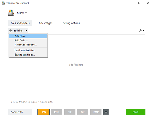
The quick and simple way to handle your files is to get a quality piece of software, such as reaConverter. This software is extremely efficient in managing a wide range of batch conversions. As you will soon realize, reaConverter will help you avoid spending countless hours trying to figure out how to convert multiple GML files as once.
Convert GML to
JPEG JPG PNG GIF TIFF TIF BMP ICO EMF WMF AI PDF EPS PS EPI WEBP WEBPLL JP2 PCX TGA DWG DWF DXF DGN WMZ CGM DRW SHP GBR PCT MIF PLT PCL SVG WPG CIN DCX DIS HRU MTV PRC RAD PIC RLA QRT SGI XBM XPM SWF CAL FAX FITS PSD PGM JXR BPG APNG DDS SVGZ CG4 FLIF AVIF QOI
Command-line interface
Advanced users can convert GML files via command-line interface in manual or automated mode. You are welcome to contact our technical support when you have any questions about reaConverter.
